The problem

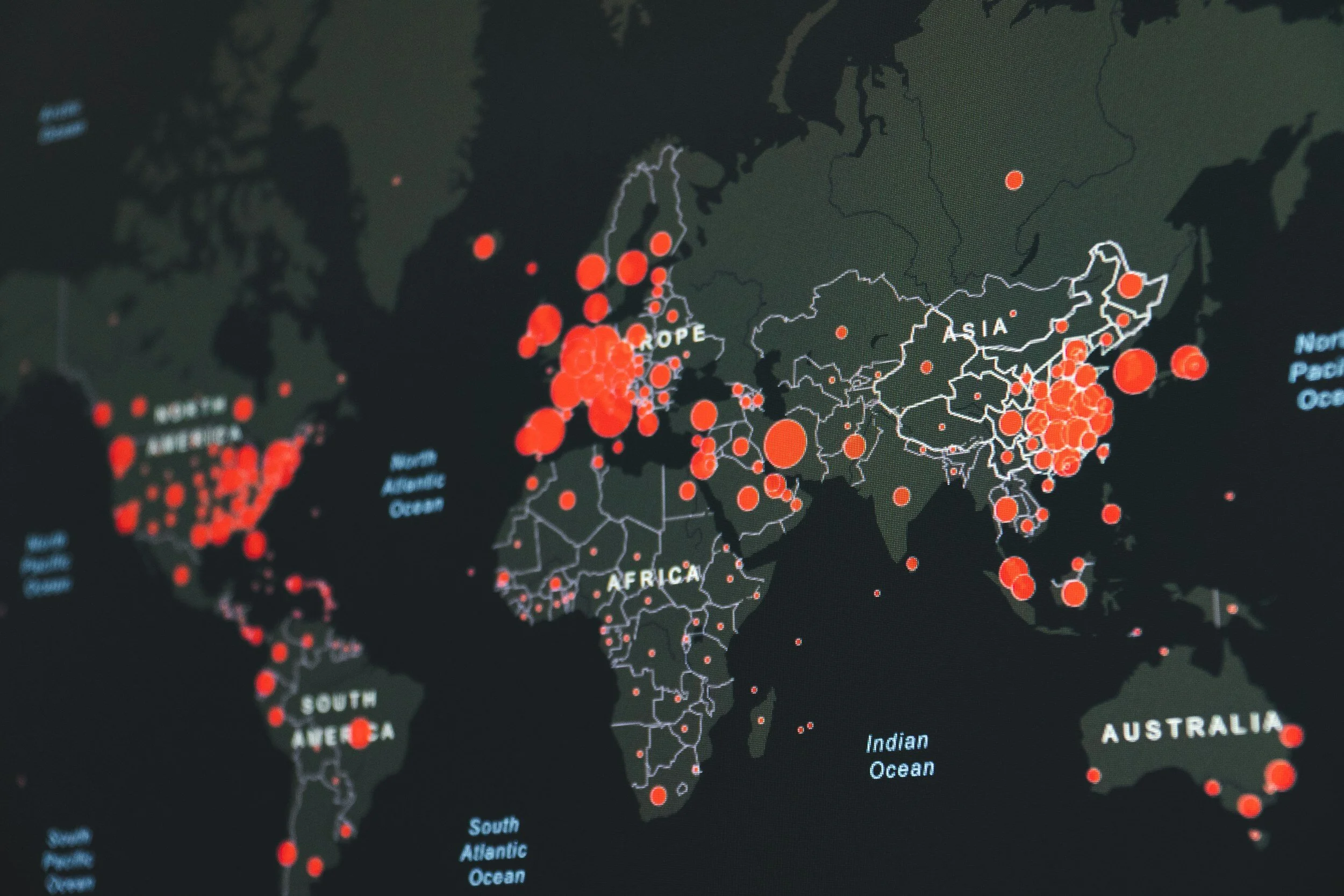
In the world of Assured Position Navigation and Timing (APNT), all current solutions seem to be geared towards GPS resiliency. We believe that with enough horsepower, anything can be jammed, and that satellites will be a high value target in a conflict.

We see more and more solutions being presented, but they focus on taking in information from disconnected sources (like different satellite constellations) which can be jammed, or are too large or cost prohibitive to be effective on a large scale.

Our Solution

Small in size, cost effective, with high compute power and sensor framework APIs.

  • Receives data in real time from multiple sensors

  • AI/ML examines data and identifies errors from GPS degradation, identifying last known good point to base modeling from

  • MSRS pulls necessary sensor data into algorithm and computes derived location

  • Precise modeling accurately predicts MSRS positioning without GPS

  • Ability to manually enter known location (intersection, stream crossing, etc).

Redundancy, not resiliency

  • Seamless transition

    Our system seamlessly transitions between different data sources, adapting to changing environmental conditions or signal disruptions. This ensures a smooth navigation experience, without interruptions or sudden drops in accuracy, allowing users to navigate with confidence.

  • Versatility

    The MSRS system is designed to work across a wide range of environments, including urban canyons, dense forests, underground tunnels, or any area with limited or no GPS coverage.

  • Advanced Navigation Reliability

    The MSRS system offers increased navigation reliability by utilizing multiple data sources and advanced algorithms. It reduces dependence on GPS signals alone, ensuring uninterrupted navigation in GPS-denied and GPS-degraded environments.

  • Mission Critical Applications

    Our system is particularly valuable for mission critical operations in sectors such as defense, transportation, emergency services, underground exploration, and logistics, where success depends on uninterrupted and accurate navigation.

  • Improved Accuracy

    By fusing data from various sources, including inertial sensors, magnetic field sensors, doppler velocity sensors, and more, our system provides highly accurate position estimation. This enables precise navigation and eliminates the errors and uncertainties associated with single-source solutions.

Calculates Position from last known GPS fixed location

Takes Sensor Data

Models trajectory & Reduces error from Machine Learning

Mitigate the risks associated with GPS denial scenarios

Enhance operational efficiency, situational awareness, and overall mission effectiveness

Request our Whitepaper